

Malaysia: Hillside clearing raises flash flood concerns in Shah Alam, Puncak Alam
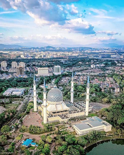



KUALA LUMPUR: Rapid hill-clearing and slope-stabilisation works are underway near settlements in Bukit Cherakah, Jeram, Ijok, Puncak Alam and Bukit Kapar, raising concerns over worsening flash floods.
A drone survey by Berita Harian found several hilly areas cleared of greenery for development projects, leaving large patches of terrain exposed.

Photographs captured also showed active excavation and a tunnel under construction, believed to be part of an infrastructure project.
Details on the scale of the developments and the parties carrying them out have yet to be obtained, though initial feedback from residents links the works to development projects.
The key question is whether the land clearing has triggered increasingly frequent and severe flooding in nearby areas, including Puncak Alam town and villages around Ijok and Bukit Kapar.
BH is seeking confirmation from the authorities and relevant agencies.
Geoheritage expert Prof Emeritus Datuk Dr Ibrahim Komoo said photographs shared by BH showed active clearing across the hilly terrain.
He said the situation would be serious if the projects involved encroachment and lacked approval from the authorities. Even if approved, he said, the works should not burden nearby residents with recurring flood risks.

“If approval has been granted, project guidelines and monitoring are clearly weak, and there appear to be no visible erosion and flood control systems in place.
“However, if there is no approval, this is a serious matter. The local government and encroachers must be held accountable for environmental pollution and flash floods. Information on the type of development and its impact on surrounding areas must be communicated to the local community.
“It must also be answered whether adequate siltation ponds have been provided… if they are sufficient, why are flash floods still occurring and affecting the local community?” he said.
Ibrahim said Malaysia’s tropical, humid climate meant any land clearing in hilly areas could increase erosion rates by hundreds to thousands of times. All project approvals, he said, must address erosion, siltation, pollution and flooding.
Malaysian Ecological Association president Prof Dr Ahmad Ismail urged the authorities to investigate whether remaining protected hills and forest reserves in the vicinity were being cleared.

He said the Bukit Cherakah Forest Reserve was a sensitive area for Shah Alam and any development plans must be scrutinised for their impact.
The area is classified as an Environmentally Sensitive Area (ESA) Level 1 under the Shah Alam City Council Local Plan 2035, placing it under strict protection where physical development is prohibited, he said.
“However, the size and status of the Bukit Cherakah area have undergone several significant changes. Based on Selangor State Assembly records, the area remaining as a Permanent Forest Reserve is about 1,298.86ha, while the Bukit Cherakah Additional Forest Reserve measures 982.80ha.
“A 406.22ha portion of the original forest reserve was degazetted through a process finalised in May 2022.
“The degazetted area is no longer under Permanent Forest Reserve status or ESA Level 1 protection, allowing development works to proceed outside the remaining forest boundary,” he said.
Commenting on flash floods around Shah Alam and Puncak Alam, Ahmad said the state authorities and environmental groups must closely monitor ESA boundaries to prevent encroachment into the remaining protected forest reserve.
He said any project, particularly near forest reserves, must obtain proper advice from the Forestry Department, Department of Environment, Department of Wildlife and National Parks (Perhilitan) and Drainage and Irrigation Department.
Local authorities must also assess the impact of development on surrounding residential areas, industrial zones, public amenities and institutions.
“Flood preparedness must be carried out well in advance, rather than discussed only after floods occur.
“This includes measures to control surface runoff, protect forest areas and buffer zones, and ensure drainage systems are appropriate for the locations concerned.
“Universities could also conduct immediate studies to identify long-term measures needed to address flooding. Local authorities and industries should contribute to these studies,” he said.

- Previous Somali accuses UAE of ‘interfering’ in internal affairs, building illegal military bases”
- Next Singapore Newspaper: US$3,596.09 an ounce – Gold set for worst week since March on hawkish Fed, AI sell-off
You may also like...





Random news







About us
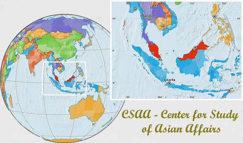
Our Newly established Center for study of Asian Affairs has
branches in Indonesia, Malaysia and Singapore, as well as freelances in some other countries.
For inquires, please contact: newsofasia.info@yahoo.com Mr.Mohd Zarif - Secretary of the Center and administer of the web-site www.newsofasia.net
Polls
 Loading ...